What Is a Flood Risk Consultant? Flood Risk Assessment | Zones 2 & 3 Specialists UK
- Nick
- Nov 27, 2025
- 7 min read
Updated: Dec 7, 2025
When most people hear "flood risk consultant," they imagine someone who just checks whether a property might flood. And whilst that's part of what we do, it's a bit like saying a structural engineer "just checks if buildings will fall down." The reality is considerably more complex and, frankly, more interesting.

Beyond the Flood Map: What Flood Risk Assessment Actually Involves. Flood Risk Assessment | Zones 2 & 3 Specialists UK
Here's the biggest misconception about flood risk consultants (Flood Risk Assessment | Zones 2 & 3 Specialists UK): that we simply look at whether flooding could happen in an area. Yes, identifying whether your property sits in a flood zone is the starting point. But that's maybe 10% of what we actually do.
What we're really doing is conducting a forensic examination of how water interacts with a site. We're identifying hazard levels, assessing potential property damage, examining not just whether water might arrive but its depth, speed, and volume. We're looking at debris transport, structural loading, and the difference between minor inconvenience and catastrophic loss.
And it's not just river flooding. A flood risk assessment considers surface water runoff, groundwater emergence, sewer flooding, and combinations of these sources occurring simultaneously. Each presents different challenges and requires different mitigation strategies.
The ultimate goal isn't simply to declare "yes, there's risk" or "no, you're fine." It's to ensure properties face the lowest possible risk and, where some risk is unavoidable, to design mitigation measures that minimise damage and enable faster recovery. This means specifying flood-resilient materials, designing drainage systems, positioning critical infrastructure above flood levels, and creating escape routes that remain passable during flood events.
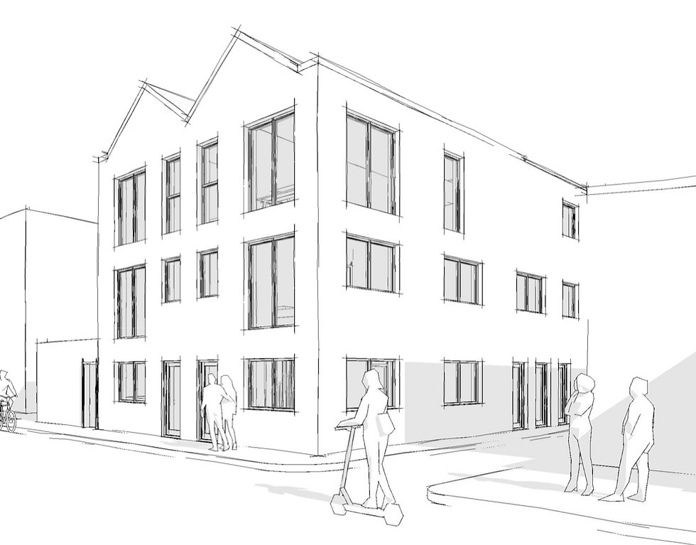
A Real-World Example: Valley Floor Development
Let me give you a concrete example from a recent project. We assessed a residential development at Whichford Mill, located right at the bottom of a valley in Flood Zone 3 with close proximity to the River Stour and sluice infrastructure. On paper, it looked like a planning refusal waiting to happen.

The site had everything working against it: valley floor location, low permeability clay soils that severely limited infiltration potential, and a history of flooding incidents in the area. This wasn't a straightforward assessment.
We used LiDAR topographic data to model exactly how water would behave during maximum flood scenarios. Not just "will it flood?" but "where will the water flow, at what speeds, at what depths, and what infrastructure will be in its path?" We identified flow routes, calculated velocities, and established finished floor levels that would keep all habitable spaces safe.
The result? All properties were positioned outside Flood Zone 3, with finished floor levels set 600mm above the maximum modelled flood level. The development got approval because we demonstrated not just that flooding was unlikely to affect habitable spaces, but that even in a catastrophic event, the design would protect residents and property.
When Do You Actually Need a Flood Risk Consultant?
Legally, if your development sits in Flood Zone 2 or 3, you need a flood risk assessment to pass the sequential test and exception test. Without these, planning permission won't be granted, and your project will need to relocate to a site with lower flood risk. That's non-negotiable.
But here's the thing: even if you're outside designated flood zones, you might still benefit from professional assessment. Surface water flood risk doesn't respect flood zone boundaries. We regularly see properties in Flood Zone 1 that face significant surface water flooding challenges, particularly where topography creates flow paths or where impermeable surfaces concentrate runoff.
Getting a proper assessment isn't just about ticking planning boxes. It's about protecting your investment. Properties with robust flood resilience measures suffer less damage, recover faster, and command better insurance terms. For developers, it's the difference between building something that gets planning approval and building something that maintains its value long-term.
Another Case Study: Turning Refusals into Approval
Sometimes our work is about salvaging projects that have already failed. Take a two-dwelling development we assessed at 2 Stillhouse Lane in Bristol. The site sat in Flood Zone 2 and had been refused planning permission three times. Three attempts, three refusals.
The problem was straightforward but challenging: the site's flood risk meant conventional ground-floor layouts wouldn't work. Previous applications had tried to force standard residential designs onto a flood-constrained site, and planning officers rightly rejected them.
Our hydraulic modelling showed that maximum flood levels would compromise any habitable ground-floor spaces. So rather than fight the hydrology, we worked with the architect to redesign around it. No bedrooms on the ground floor. The lower dwelling became living room and kitchen only, with bedrooms on the first floor. The upper floor was designed as a completely self-contained flat, entirely above any potential flood level.
Fourth time lucky. The application was approved because the design acknowledged the flood risk and worked within those constraints rather than ignoring them.
The Tools We Use
Flood risk assessment has moved well beyond simply looking at Environment Agency flood maps on the Gov.uk planning portal. Don't get me wrong, those maps are useful starting points, but they're essentially screening tools.
Professional assessment uses LiDAR (Light Detection and Ranging) data to build detailed topographic models. We access multiple Environment Agency and Defra datasets including historic flood outlines, hydraulic modelling outputs, and detailed flood risk mapping layers that aren't publicly accessible. We review local authority surface water management plans, sewer flooding records, and groundwater vulnerability maps.
For complex sites, we conduct hydraulic modelling to simulate exactly how water moves across terrain during different magnitude events. This tells us not just whether flooding might occur, but where water will accumulate, how deep it will get, and critically, whether proposed development will affect flood risk elsewhere by obstructing flow routes or displacing floodwater.
Simple Extensions vs Major Developments
The level of detail required scales with project complexity. For a straightforward residential extension, your local planning authority mostly wants confirmation that you've identified flood risks and implemented sensible precautions. This might be a relatively concise report referencing standard mitigation measures, perhaps requiring just a few days to prepare.
For major commercial developments, expect something far more comprehensive. The Environment Agency will want to see detailed hydraulic modelling, cross-sections showing flood levels relative to proposed floor levels, demonstrations that buildings won't obstruct flood flow, calculations of floodplain compensation storage, and detailed strategies for both flood resilience (keeping water out) and flood resistance (managing water that does get in).
Typical timescales? We usually complete standard flood risk assessments within five working days, with costs below £1,000. Detailed hydraulic modelling for complex sites can approach £5,000 and take longer, but you're getting the engineering analysis that convinces Environment Agency officers and planning committees your development is genuinely safe.
The Biggest Mistake We See
Here's what catches people out: assuming that properties outside flood zones face no flood risk. The Environment Agency's flood zones primarily show river and coastal flooding. They don't comprehensively map surface water flooding, which affects far more properties than fluvial flooding.

Surface water flooding happens when intense rainfall overwhelms drainage systems or runs off impermeable surfaces faster than it can soak away. It's governed by topography, soil permeability, drainage capacity, and surrounding land use. A property on high ground might still sit at the bottom of a surface water flow path, concentrating runoff from higher elevations.
This isn't just a risk management issue; it's also an opportunity. Proper surface water management isn't only about preventing flooding. Sustainable Drainage Systems (SuDS) can enhance biodiversity, improve amenity space, reduce urban heat island effects, and create attractive landscape features whilst managing flood risk. Good design turns a constraint into an asset.
What Makes a Good Flood Risk Consultant?
If you're looking for professional flood risk advice, there are some markers of genuine expertise worth checking:
Professional Memberships: Look for membership of bodies like the Chartered Institution of Water and Environmental Management (CIWEM). As a CIWEM member myself, I can tell you that professional accreditation requires demonstrated competence, ongoing professional development, and adherence to rigorous codes of practice. It's not just letters after your name; it's evidence of recognised expertise in water and environmental management.
Professional Indemnity Insurance: Any consultant worth their fees carries substantial professional indemnity insurance. We maintain cover exceeding £5 million because flood risk assessment involves making professional judgements that inform development decisions worth hundreds of thousands or millions of pounds. Adequate insurance protects both you and the consultant if something goes wrong.
Quality Assurance: Ask about quality assurance procedures. Professional consultancies have documented QA processes, technical reviews by senior staff, and standardised methodologies that ensure consistency. Your flood risk assessment should be technically robust enough to withstand scrutiny from Environment Agency officers, planning inspectors, and potentially planning appeal proceedings.
Local Experience: Flood risk is inherently local. Geology, topography, drainage infrastructure, and local planning policies all vary by area. A consultant with experience in your specific local authority area will understand local validation requirements, be familiar with area-specific flood risk issues, and know which planning officers will review your application. They'll have relationships with Environment Agency officers covering your catchment and understand regional hydrology.
Ask for case studies demonstrating relevant experience. Not necessarily identical developments, but projects that show the consultant has dealt with the specific challenges your site presents, whether that's Flood Zone 3 development, surface water management, groundwater issues, or challenging topography.
The Value of Professional Assessment
Flood risk assessment isn't about finding ways to circumvent planning requirements. It's about understanding risk, designing appropriate mitigation, and demonstrating to planning authorities that development is safe and sustainable.
Done properly, it protects your investment, ensures planning approval, maintains property values, enables competitive insurance terms, and most importantly, keeps people and property safe when extreme weather inevitably occurs.
The climate is changing. Extreme rainfall events are becoming more frequent and more intense. Sea levels are rising. What was considered a one-in-100-year flood event is now happening more regularly. Properties developed today need to remain safe and insurable for decades to come.
That's what professional flood risk assessment delivers: not just a document for planning committees, but a genuine evaluation of risk and a practical strategy for managing it. Whether you're extending a home, converting a commercial building, or developing a major residential scheme, getting the flood risk assessment right from the outset saves time, money, and potentially lives.
If your development faces any degree of flood risk, speak to a qualified professional early in the design process. The earlier we're involved, the more options we have to design solutions rather than retrofit them. And honestly, that's when we do our best work.
Not sure if your project needs a flood risk assessment? Contact us for a free 15-minute consultation to discuss your site's requirements.


Comments